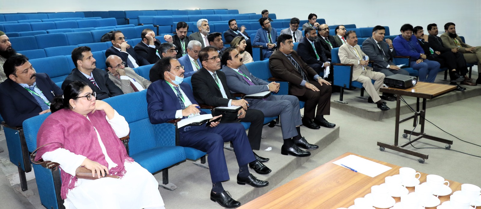
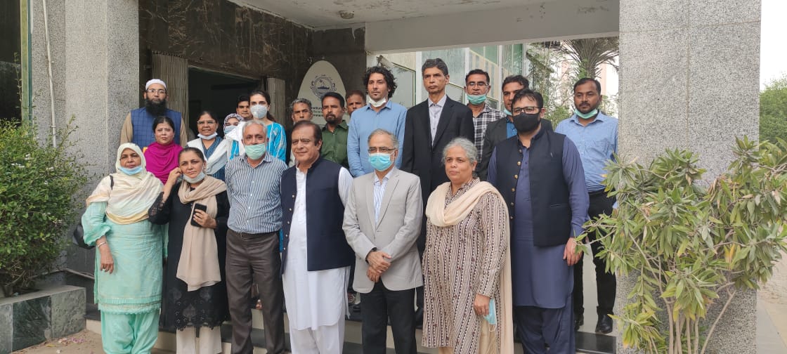
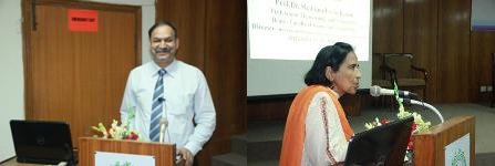
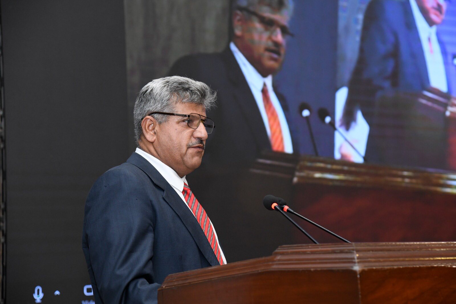
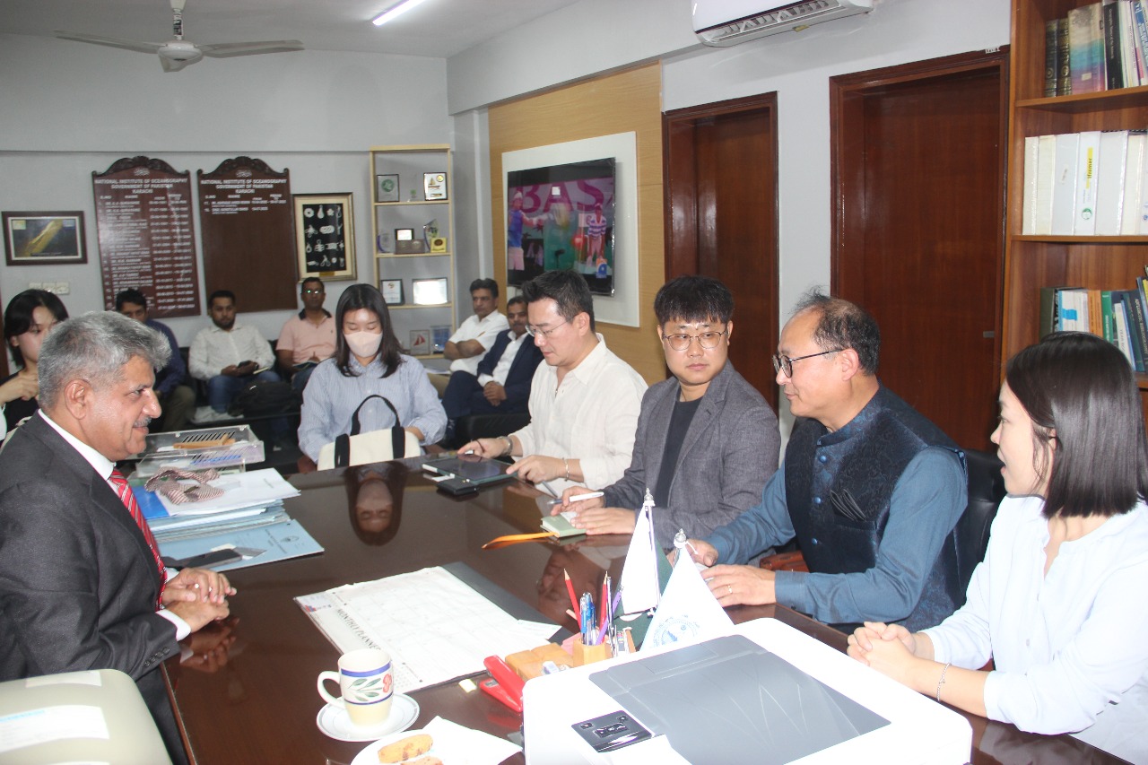
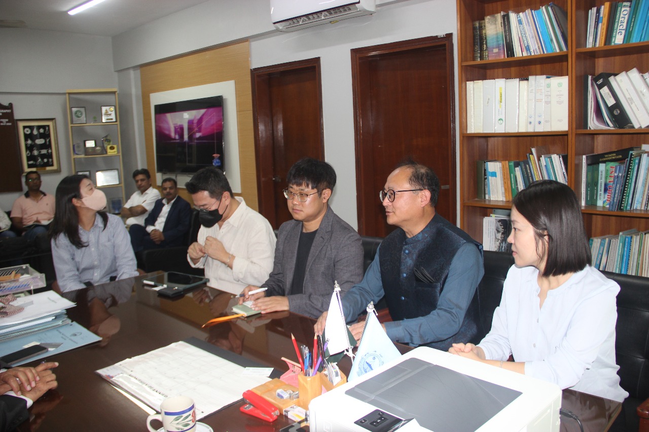
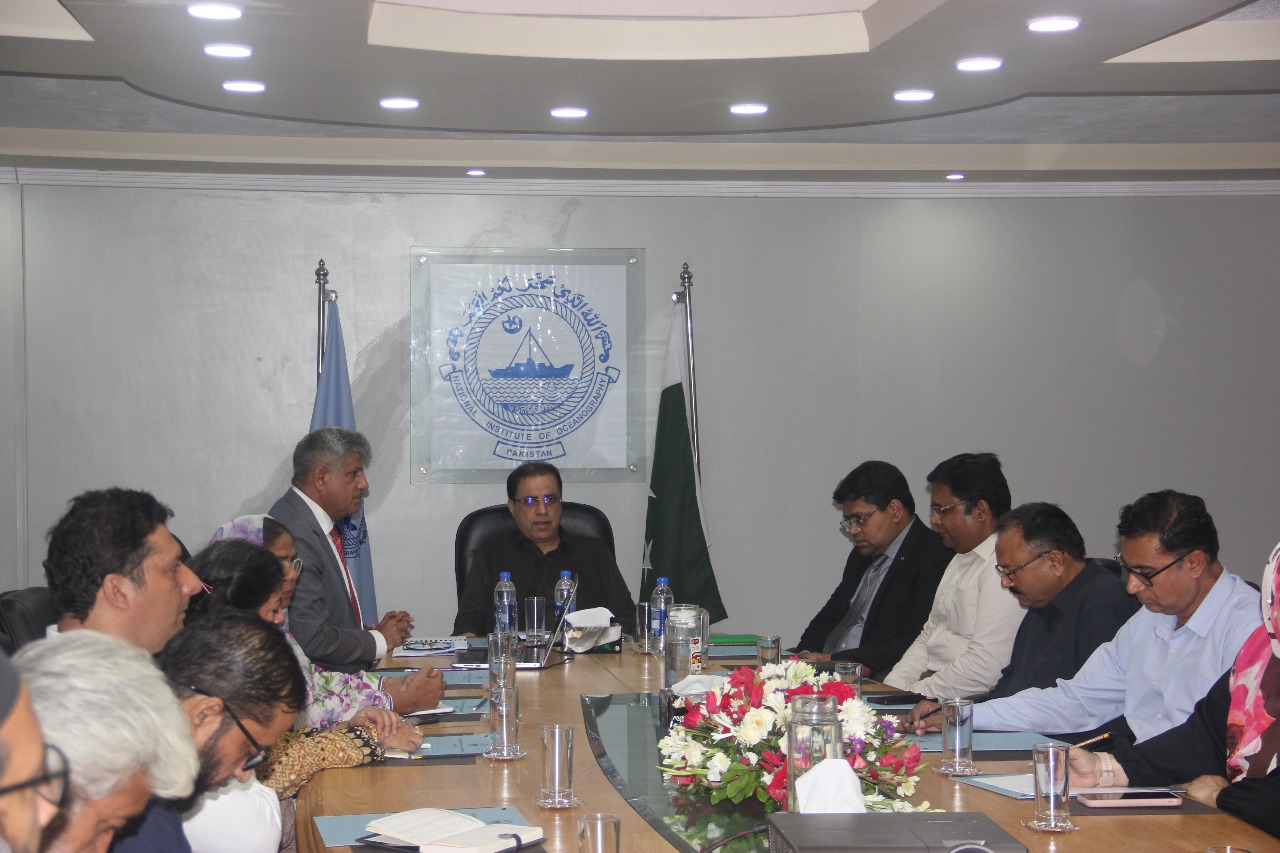
The National Institute of Maritime Affairs (NIMA), in collaboration with the Institute of Strategic Studies Islamabad (ISSI), hosted its maiden international seminar titled “Deep-Sea Mining: Prospects & The Global Conservation Imperatives” in Islamabad. The event brought together over 200 participants, including policymakers, scientists, environmentalists, industry experts, and students, to deliberate on the challenges and opportunities of deep-sea mining in the context of global conservation imperatives.
The seminar was inaugurated by Vice Admiral Ahmed Saeed, President of NIMA, who emphasized the importance of responsible ocean governance. The keynote address was delivered by Senator Mushahid Hussain, who underscored the strategic relevance of the Indian Ocean to Pakistan and the need for balanced exploitation of marine resources. Prominent national and international figures attended, including Dr. Diva Amon (University of California), Ambassador Per Albert (Norway), Shigeru Tanaka (Deep-Sea Conservation Coalition, USA), Sérgio Carvalho (Oceano Azul Foundation, Portugal), Julian Jackson (Pew Charitable Trusts, USA), and François Mosnier (Planet Tracker, UK).
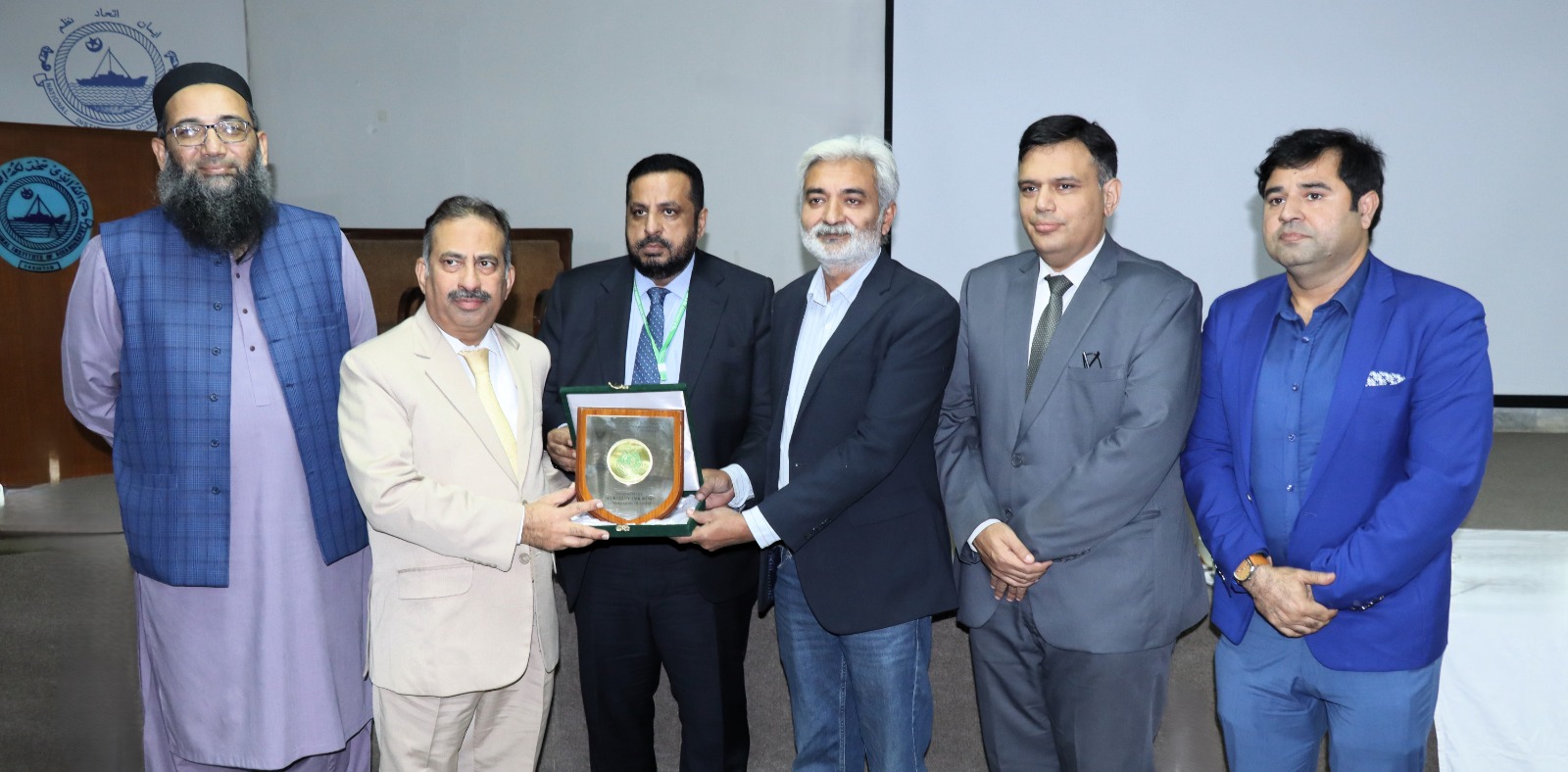
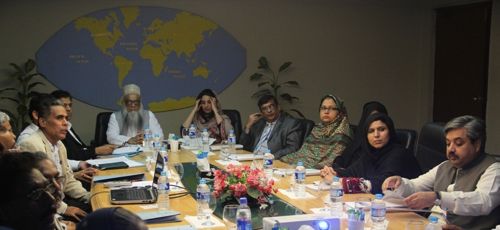
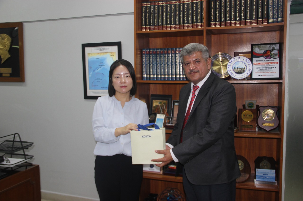
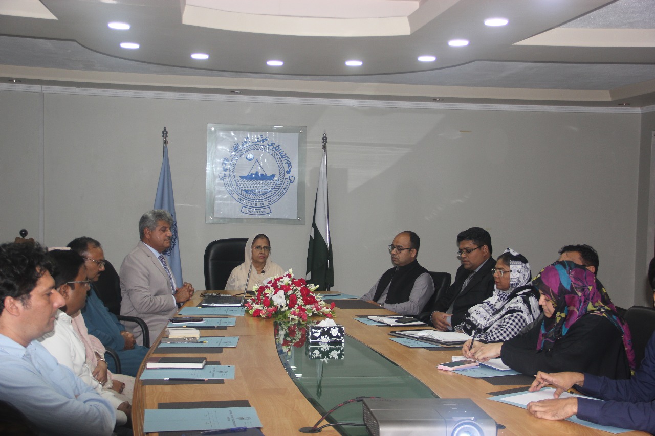
From Pakistan, key contributions were made by Dr. Fasiha Safdar (NIMA), Mahmood Akhtar Cheema (IUCN), Engr. Naimatullah Sohoo (NIO), Dr. Nawaz Ahmed Virk (MOE), Ms. Amna Munawar Awan (PBF), Mr. Jahanzeb Sikandar (YouCan LLC), and Ms. Shagufta Iqbal (MoMA). The Chief Guest, Dr. Sajjad Ahmad, Director General of the Geological Survey of Pakistan, emphasized science-led collaboration. The seminar concluded with remarks by Ambassador Khalid Mahmood, Chairman BoG of ISSI, who commended NIMA’s initiative in fostering a multidisciplinary platform to address pressing maritime issues.
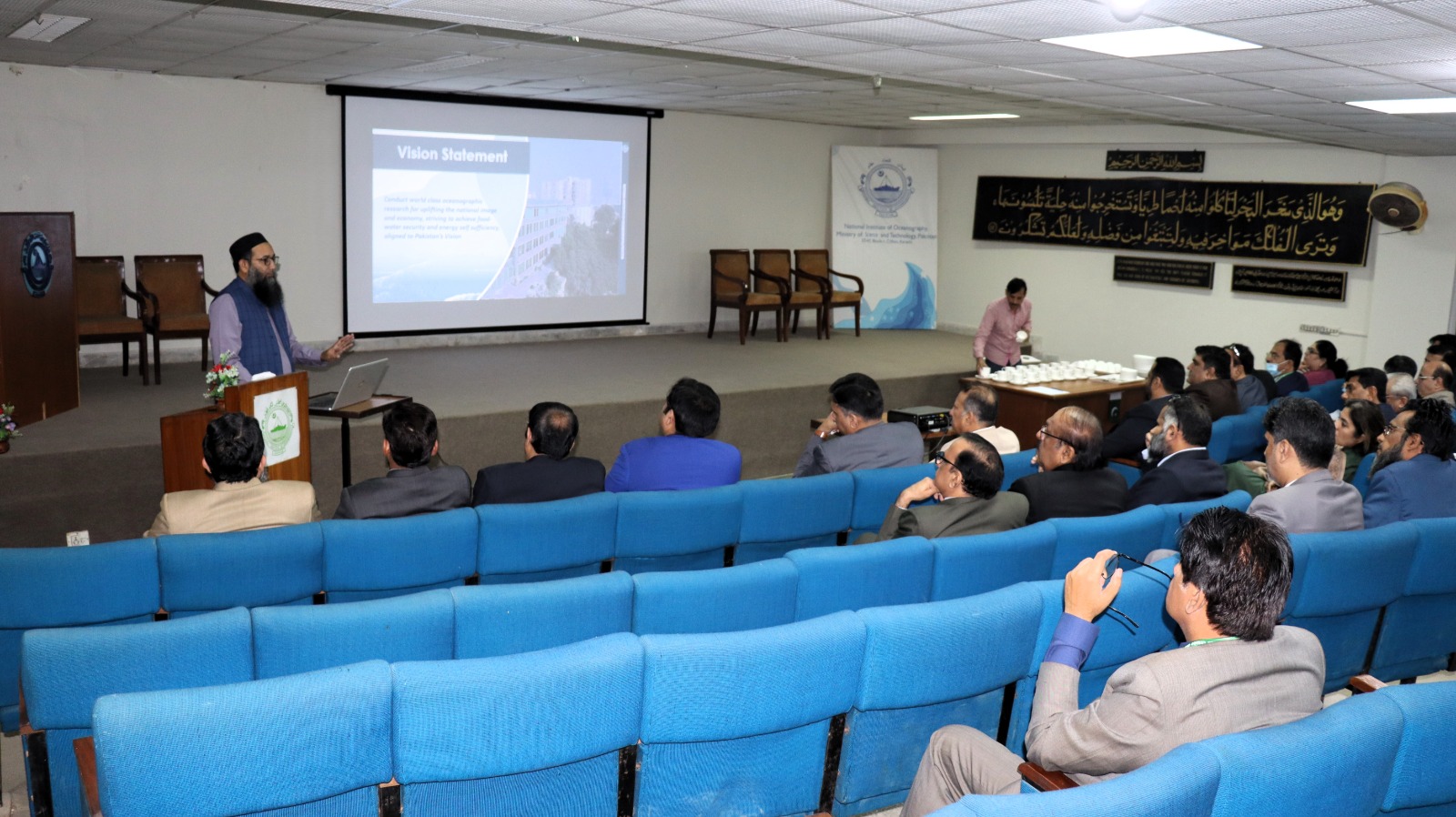
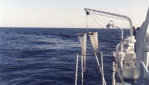
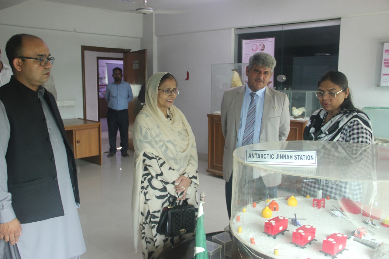
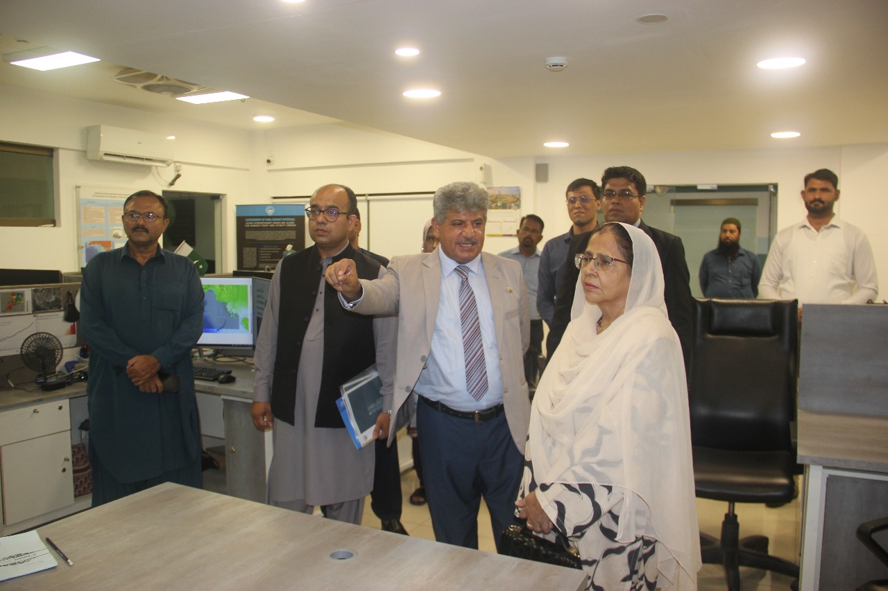
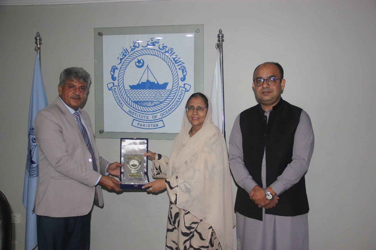
At the international seminar titled “Deep-Sea Mining: Prospects & The Global Conservation Imperatives,” jointly organized by the National Institute of Maritime Affairs (NIMA) and the Institute of Strategic Studies Islamabad (ISSI), Engr. Naimat Ullah Sohoo had the opportunity to present insights on the deep-sea environment and biodiversity of the Indian Ocean, based on his work at the National Institute of Oceanography (NIO).
He emphasized that over 92% of the Indian Ocean qualifies as deep-sea, making it the least understood yet ecologically vital part of the marine world. Beginning at depths beyond 200 meters, the deep-sea is a cold, high-pressure, pitch-dark environment with limited food availability. Despite these extreme conditions, it sustains diverse ecosystems and species—many of which are yet to be discovered.
His presentation highlighted unique deep-sea features such as manganese nodules, hydrothermal vents, and abyssal plains, along with deep-sea organisms like sea cucumbers, brittle stars, polychaetes, and deep-sea fish. These ecosystems offer crucial services like carbon storage, climate regulation, and energy potential, but are now at risk due to human pressures including mining and climate change.
He stressed the urgent need for science-led exploration, low-impact technologies, and international collaboration to protect these fragile ecosystems. As Pakistan explores opportunities within its Exclusive Economic Zone (EEZ), it must ensure that all initiatives align with conservation principles under global ocean governance frameworks.
.jpeg)
.jpeg)
.jpeg)
.jpeg)
.jpeg)
.jpeg)
.jpeg)
.jpeg)
.jpeg)
.jpeg)
.jpeg)
.jpeg)
.jpeg)
.jpeg)
.jpeg)
.jpeg)
.jpeg)
.jpeg)
.jpeg)
.jpeg)
.jpeg)
.jpeg)
.jpeg)
.jpeg)
.jpeg)
.jpeg)
.jpeg)

.jpeg)
.jpeg)
.jpeg)
.jpeg)
.jpeg)
.jpeg)
.jpeg)
.jpeg)
.jpeg)
.jpeg)


.jpeg)
.jpeg)
.jpeg)